Transit & getting around
Downtown Ottawa is 20.1 km away in a straight line, or 25.9 km and about 26 minutes by road in free-flow conditions with no traffic. In the 2021 census, most workers in all three ONS areas commuted by car.
The O-Train does not run through the Kanata North area yet: Moodie, just east, is the western end of Line 1.
Updated · Facts on this page link to their sources
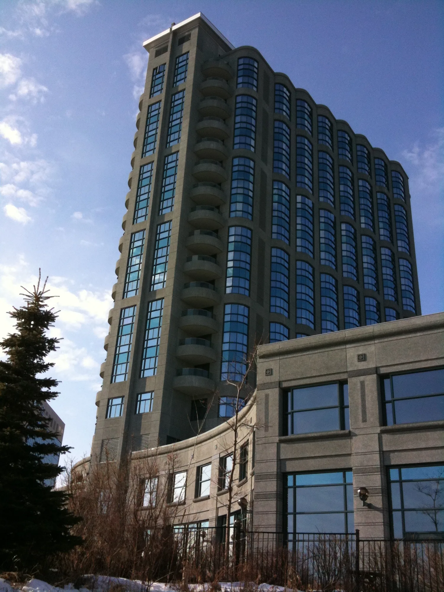
The only O-Train station in our data is Moodie on the Confederation Line, to the east of the area. Its OpenStreetMap entry is marked open.
Census commuting shares (ONS, 2021): car, truck or van was 85.7% of workers in Kanata Lakes, 84.0% in the ONS 'Brookside - Briarbrook - Morgan's Grant' area and 78.9% in Beaverbrook. Public transit was 5.8%, 5.5% and 10.2%. Working at home was 55.4%, 50.0% and 48.4%. ONS counts an average of 8 to 9.5 transit stops within a 600 m walk. Confirm current routes with OC Transpo.
Drive times
From the area centre. Straight-line distance from the area centre; driving distance and free-flow time from the OSRM demo router on OpenStreetMap roads (no traffic).
Parliament Hill (downtown Ottawa)
25.9 km by roadrouter.project-osrm.org
26 minby car
Transit and stations
O-Train stations
1Moodie
Confederation Line
Quick answers
Short answers first; each links to the full answer and its sources.
How far is Kanata North from downtown Ottawa?
From the centre of Kanata North to Parliament Hill is about 20.1 km in a straight line and 25.9 km by road. Free-flowing driving takes about 26 minutes by OSRM's estimate, which does not include traffic.
As of 2026-10 · router.project-osrm.org openstreetmap.org
What is the nearest O-Train station to Kanata North?
Moodie is the only O-Train station in our places data for the area. It is listed as open on the Confederation Line and sits east of Kanata North at about 45.341° N, 75.837° W. That is roughly 7 km in a straight line from the area centre.
As of 2026-10 · openstreetmap.org
How do people in Kanata North get to work?
In the 2021 census, 85.7% of workers in Kanata Lakes, 84.0% in Brookside - Briarbrook - Morgan's Grant and 78.9% in Beaverbrook commuted by car, truck or van. Public transit was used by 5.8%, 5.5% and 10.2% respectively.
As of 2021 · ons-sqo.ca ons-sqo.ca