Kanata Lakes
A large neighbourhood north of the Queensway, around Kanata Avenue and Terry Fox Drive, with schools, parks and big-box shopping nearby.
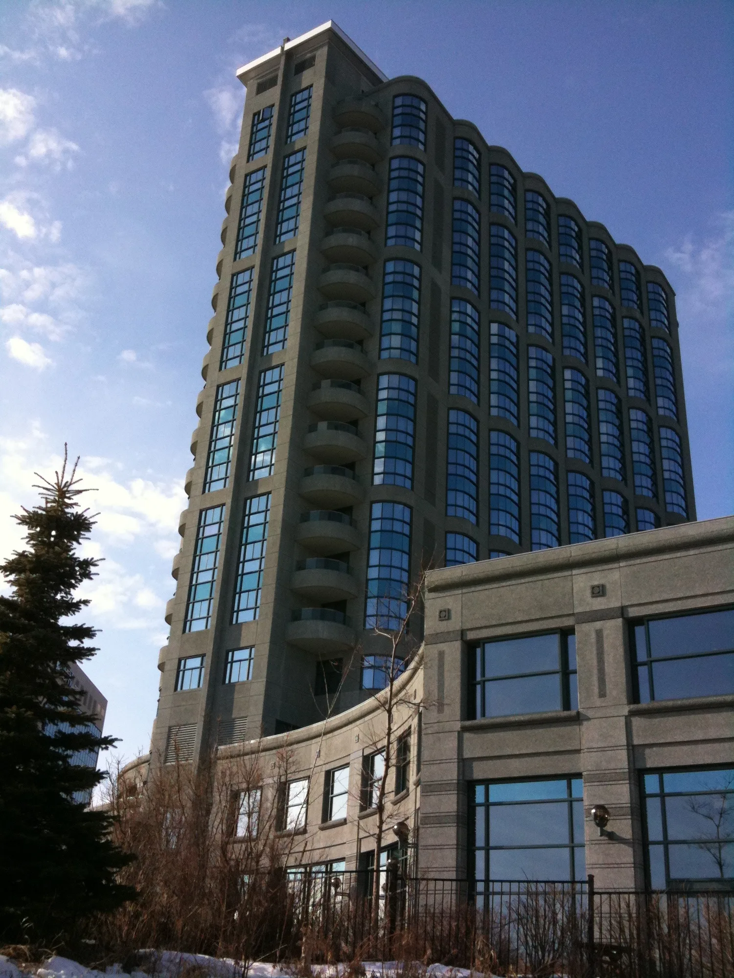
* Ottawa Neighbourhood Study figures for its “Kanata Lakes” area, which is larger than Kanata Lakes alone.
Wikipedia places Kanata Lakes (also called Marchwood-Lakeside) in Kanata North Ward, north of the Queensway, west of Beaverbrook, east of Terry Fox Drive and south of Morgan's Grant, about 20 km west-southwest of downtown Ottawa. The Ottawa Neighbourhood Study's 'Kanata Lakes' area had 19,945 residents in the 2021 census.
Updated · Facts on this page link to their sources
About Kanata Lakes
Wikipedia places Kanata Lakes (also called Marchwood-Lakeside) in Kanata North Ward, north of the Queensway, west of Beaverbrook, east of Terry Fox Drive and south of Morgan's Grant, about 20 km west-southwest of downtown Ottawa. Kanata Avenue is its main street. The 2021 census counted 19,945 people in the ONS Kanata Lakes area, with a median age of 44.8. Our data lists several parks, including Beaverpond, Walden and Keyrock, the Richcraft Recreation Complex, and schools from four boards.
Boundaries
Wikipedia places Kanata Lakes north of the Queensway, west of Beaverbrook, east of Terry Fox Drive and south of Morgan's Grant. Statistics here use the Ottawa Neighbourhood Study's 'Kanata Lakes' area.
Homes
In the 2021 census, ONS counted 7,545 private dwellings in Kanata Lakes: 46.5% single-detached houses, 27.9% row houses, 2.2% semi-detached, 5.0% apartments in buildings under five storeys and 18.3% in buildings of five or more storeys. Owner households were 68.3% and renter households 31.7%. ons-sqo.ca
- 19,945 people and 7,545 private dwellings in the ONS area (2021 census)
- Several schools from the English and French public and Catholic boards
- Richcraft Recreation Complex, Keyrock Park (with an ice rink) and many neighbourhood parks
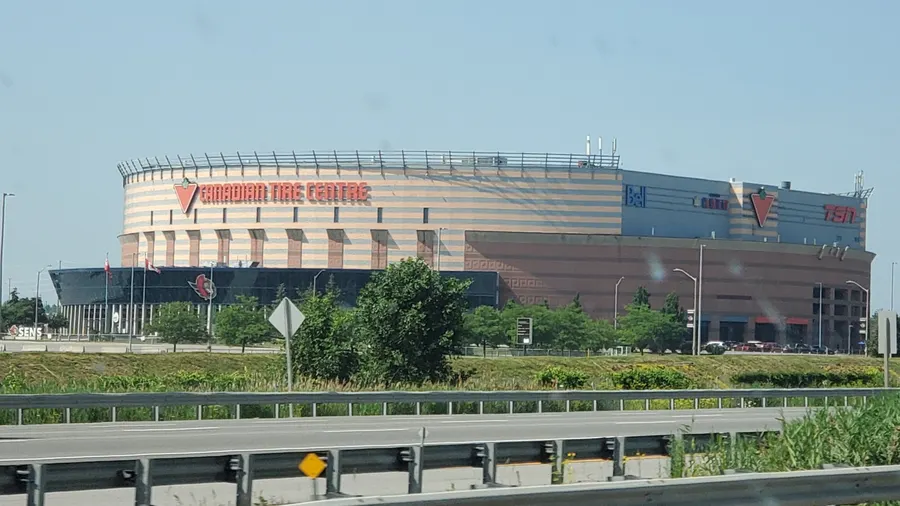
- Farm Boy, Loblaws, Walmart and Canadian Tire within the area's shopping streets
- Downtown Ottawa is 20.1 km away in a straight line
Community
How Kanata Lakes came to be
- 1800s
The land was part of the Township of March and was first settled by Europeans in the early 19th century. It stayed mainly agricultural until the 1960s, when heavy development began. en.wikipedia.org
- 1960s
Modern Kanata is largely the creation of developer William Teron, who bought 4,000 acres of rural land to build a model community he called 'A Garden City'. The lands around the Kanata Lakes Golf & Country Club formed the initial core of Kanata Lakes, developed years later. en.wikipedia.org
- 2001
Before amalgamation in 2001, Kanata Lakes was within the City of Kanata. en.wikipedia.org
Local names worth knowing
- Terry Matthews
Wikipedia lists him as a notable resident and describes him as the founder of the Kanata high-tech sector. en.wikipedia.org
- Chris Phillips
Wikipedia lists the hockey player as a notable resident. en.wikipedia.org
Around Kanata Lakes
Walking rings at 5, 10 and 15 minutes from the neighbourhood centre.
Schools
5 nearbyAll Saints High School
OCSB5115 Kanata Avenueopenstreetmap.org ash.ocsb.ca
540 m7 min walkSt. Gabriel School
OCSB400 Keyrock Driveopenstreetmap.org gab.ocsb.ca
1.0 km13 min walkÉcole élémentaire catholique Saint-Rémi
CECCE100 Walden Driveopenstreetmap.org saint-remi.ecolecatholique.ca
1.2 km15 min walkSt. Isabel Catholic Elementary School
OCSB785 Goulbourn Forced Roadopenstreetmap.org
2.6 kmfrom centreKanata Highlands Public School
OCDSB425 Terry Fox Driveopenstreetmap.org ocdsb.ca
2.7 kmfrom centre
Straight-line distances from the Kanata Lakes centre. Living near a school does not guarantee a place: confirm the designated school for an address with each board. All schools and board locators.
Parks & places
10 nearbyJim Malone Park
400 Goldridge Driveopenstreetmap.org
130 m2 min walkFentiman Park
7600 Campeau Driveopenstreetmap.org
210 m3 min walkTanmount Park
283 Goldridge Driveopenstreetmap.org
250 m3 min walkJim Malone Park
400 Goldridge Driveopenstreetmap.org
320 m4 min walkFentiman Park
7600 Campeau Driveopenstreetmap.org
400 m5 min walkWhalen Park
4111 Kanata Avenueopenstreetmap.org
660 m8 min walkKeyrock Park
401 Brunskill Wayopenstreetmap.org
720 m9 min walkKeyrock Park Ice Rink
Ice rink
770 m10 min walkWalden Park
130 Walden Driveopenstreetmap.org
1.2 km15 min walkEscarpment Park (Knudson)
98 Knudson Driveopenstreetmap.org
1.4 km18 min walk
Shops & dining
9 nearbyLittle Euro Deli
2 Goldridge Driveopenstreetmap.org
290 m4 min walkFarm Boy
499 Terry Fox Driveopenstreetmap.org
660 m8 min walkKowloon Supermarket
770 m10 min walkLoblaws
200 Earl Grey Driveopenstreetmap.org
940 m12 min walkWalmart
500 Earl Grey Driveopenstreetmap.org
1.1 km13 min walkCanadian Tire
8181 Campeau Driveopenstreetmap.org
1.2 km14 min walkMarshalls
8555 Campeau Driveopenstreetmap.org
2.1 km26 min walkSaks Off 5th
8555 Campeau Driveopenstreetmap.org
2.2 km27 min walkPrincess Auto
3055 Palladium Driveopenstreetmap.org
2.9 kmfrom centre
Getting around
TransitDowntown Ottawa
20.1 km straight-line from the Kanata North area centre to Parliament Hill; 25.9 km by road, about 26 minutes (free-flow, no traffic).
O-Train
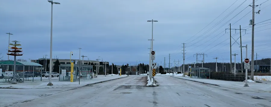
Moodie station on the Confederation Line is the nearest O-Train station in our data; OpenStreetMap lists it as open.
For sale in Kanata Lakes
No Kanata Lakes homes on kanatanorth.homes right now
Selling here? Get a website for your home, or browse every home for sale in the area.
Neighbouring areas
Quick answers
Short answers first; each links to the full answer and its sources.
Is Kanata North a good place to live?
Kanata North is a suburban part of west-end Ottawa, about 20 km west-southwest of Parliament Hill. In the 2021 census the three areas we cover had 19,945 residents in Kanata Lakes, 15,525 in Brookside - Briarbrook - Morgan's Grant and 6,680 in Beaverbrook. Whether it suits you depends on what you need, so here are the facts rather than a verdict.
As of 2021 · ons-sqo.ca ons-sqo.ca
What are homes like in Kanata North?
In the 2021 census, single-detached houses were 46.5% of dwellings in Kanata Lakes and 46.9% in Brookside - Briarbrook - Morgan's Grant, but 31.6% in Beaverbrook. Row houses were 27.9%, 45.8% and 50.5% in those three areas respectively.
As of 2021 · ons-sqo.ca ons-sqo.ca
Is Kanata North walkable?
The Ottawa Neighbourhood Study's average Walk Score is 22.39 for Kanata Lakes, 19.53 for Brookside - Briarbrook - Morgan's Grant and 28.96 for Beaverbrook. On average there are 8, 8.7 and 9.5 transit stops within a 600 m walk in those areas.
As of 2021 · ons-sqo.ca ons-sqo.ca
How do people in Kanata North get to work?
In the 2021 census, 85.7% of workers in Kanata Lakes, 84.0% in Brookside - Briarbrook - Morgan's Grant and 78.9% in Beaverbrook commuted by car, truck or van. Public transit was used by 5.8%, 5.5% and 10.2% respectively.
As of 2021 · ons-sqo.ca ons-sqo.ca
What parks are in Kanata North?
Parks mapped in the area include Beaverpond Park, Walden Park, Keyrock Park, Fentiman Park, Jim Malone Park, Tanmount Park, Whalen Park, Varley Park, Lytle Park and Gow Park. Monk Environmental Park (3125 Solandt Road) is mapped as a nature area.
As of 2026-10 · openstreetmap.org openstreetmap.org
Where are the recreation centres, pools and rinks in Kanata North?
The Richcraft Recreation Complex is at 4101 Innovation Drive, and the Beaverbrook Community Centre and Beaverbrook Outdoor Pool are at 1002 Beaverbrook Road. Keyrock Park has a mapped ice rink.
As of 2026-10 · openstreetmap.org openstreetmap.org