Beaverbrook
The first and oldest residential neighbourhood in Kanata, east of Kanata Lakes along March Road, with a community centre and outdoor pool.
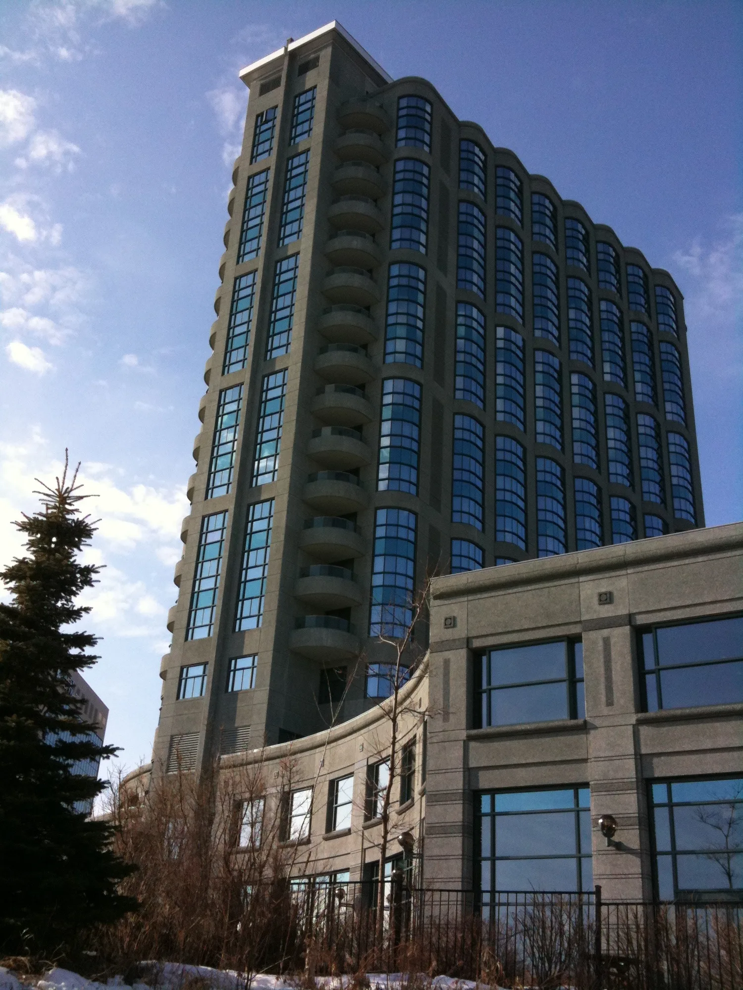
* Ottawa Neighbourhood Study figures for its “Beaverbrook” area, which is larger than Beaverbrook alone.
Wikipedia calls Beaverbrook the first and oldest residential neighbourhood in Kanata, known for its hedged houses and community facilities. The Ottawa Neighbourhood Study's 'Beaverbrook' area had 6,680 residents in the 2021 census.
Updated · Facts on this page link to their sources
About Beaverbrook
Wikipedia calls Beaverbrook the first and oldest residential neighbourhood in Kanata, known for its hedged houses and community facilities. It lies in Kanata North Ward and, per Wikipedia, is bounded by the Kanata North Business Park to the north, March Road to the east, Campeau Drive to the south and Knudson Avenue and Weslock Way to the west. Our data places the Beaverbrook Community Centre, outdoor pool and several parks on Beaverbrook Road. The 2021 census counted 6,680 people in the ONS Beaverbrook area, with 36.1% of dwellings being condominiums.
Boundaries
Wikipedia gives Beaverbrook's boundaries as the Kanata North Business Park to the north, March Road to the east, Campeau Drive to the south and Knudson Avenue and Weslock Way to the west. Statistics here use the Ottawa Neighbourhood Study's 'Beaverbrook' area.
Homes
In the 2021 census, ONS counted 2,835 private dwellings in Beaverbrook: 50.5% row houses, 31.6% single-detached, 2.3% semi-detached, 5.6% apartments in buildings under five storeys and 9.7% in buildings of five or more storeys. Condominiums were 36.1% of dwellings. Owner households were 73.5% and renter households 26.5%. ons-sqo.ca
- Beaverbrook Community Centre, outdoor pool and pool park on Beaverbrook Road
- Three OCDSB elementary schools, Earl of March Secondary School and a Catholic elementary school
- 6,680 people in the ONS area (2021 census)
- 10.2% of workers commuted by public transit (ONS, 2021), the highest of the three areas
- Roughly half of dwellings (50.5%) are row houses (ONS, 2021)
Community
How Beaverbrook came to be
- 1964
Beaverbrook was originally part of March Township farmland until the 1960s, when developer and planner Bill Teron set out to create a planned 'Garden City' community. The first street developed was Tiffany Crescent, in 1964. en.wikipedia.org
- 1978
John Mlacak, reeve of March Township from 1968 to 1976, helped lead Kanata's development through the 1970s and 1980s. In 1978 the area was incorporated as the new City of Kanata, named after the neighbourhood, after a referendum. en.wikipedia.org
Beaverbrook is named after Max Aitken, Lord Beaverbrook. en.wikipedia.org
Local names worth knowing
- Terry Matthews
Wikipedia lists him as a notable resident, born in 1943, entrepreneur and chairman of Mitel. en.wikipedia.org
- Marianne Wilkinson
Wikipedia lists her as a notable resident and a past mayor and city councillor of Kanata North. en.wikipedia.org
Around Beaverbrook
Walking rings at 5, 10 and 15 minutes from the neighbourhood centre.
Schools
6 nearbyStephen Leacock Public School
OCDSB25 Leacock Driveopenstreetmap.org ocdsb.ca
180 m2 min walkEarl of March Secondary School
OCDSB4 The Parkwayopenstreetmap.org ocdsb.ca
420 m5 min walkBeaverbrook Math Academy
1002 Beaverbrook Roadopenstreetmap.org beaverbrookmathacademy.com
450 m6 min walkRoland Michener Public School
OCDSB100 Penfield Driveopenstreetmap.org ocdsb.ca
630 m8 min walkGeorges Vanier Catholic School
OCSB40 Varley Driveopenstreetmap.org geo.ocsb.ca
980 m12 min walkW. Erskine Johnston Public School
OCDSB50 Varley Driveopenstreetmap.org ocdsb.ca
1.1 km14 min walk
Straight-line distances from the Beaverbrook centre. Living near a school does not guarantee a place: confirm the designated school for an address with each board. All schools and board locators.
Parks & places
10 nearbyGow Park
1009 Beaverbrook Roadopenstreetmap.org
140 m2 min walkBeaverbrook Community Centre
Community or recreation centre
1002 Beaverbrook Roadopenstreetmap.org
420 m5 min walkBeaverbrook Pool Park
430 m5 min walkCraig Park
16 Leacock Driveopenstreetmap.org
440 m5 min walkBeaverbrook Outdoor Pool
Swimming pool
450 m6 min walkLytle Park (Kanata)
1010 Beaverbrook Roadopenstreetmap.org
550 m7 min walkEscarpment Park (Knudson)
98 Knudson Driveopenstreetmap.org
750 m9 min walkBorduas Court Parkette
8 Borduas Courtopenstreetmap.org
860 m11 min walkVarley Park
56 Varley Driveopenstreetmap.org
900 m11 min walkHolly Acres Park
77 A Varley Driveopenstreetmap.org
930 m12 min walk
Shops & dining
3 nearbyModern General
1029 Teron Roadopenstreetmap.org
630 m8 min walkHome Hardware
329 March Roadopenstreetmap.org
1.3 km16 min walkMetro
4048 Carling Avenueopenstreetmap.org
1.4 km18 min walk
Getting around
TransitDowntown Ottawa
20.1 km straight-line from the Kanata North area centre to Parliament Hill; 25.9 km by road, about 26 minutes (free-flow, no traffic).
O-Train
Moodie station on the Confederation Line is the nearest O-Train station in our data; OpenStreetMap lists it as open.
For sale in Beaverbrook
No Beaverbrook homes on kanatanorth.homes right now
Selling here? Get a website for your home, or browse every home for sale in the area.
Neighbouring areas
Quick answers
Short answers first; each links to the full answer and its sources.
Is Kanata North a good place to live?
Kanata North is a suburban part of west-end Ottawa, about 20 km west-southwest of Parliament Hill. In the 2021 census the three areas we cover had 19,945 residents in Kanata Lakes, 15,525 in Brookside - Briarbrook - Morgan's Grant and 6,680 in Beaverbrook. Whether it suits you depends on what you need, so here are the facts rather than a verdict.
As of 2021 · ons-sqo.ca ons-sqo.ca
What are homes like in Kanata North?
In the 2021 census, single-detached houses were 46.5% of dwellings in Kanata Lakes and 46.9% in Brookside - Briarbrook - Morgan's Grant, but 31.6% in Beaverbrook. Row houses were 27.9%, 45.8% and 50.5% in those three areas respectively.
As of 2021 · ons-sqo.ca ons-sqo.ca
Is Kanata North walkable?
The Ottawa Neighbourhood Study's average Walk Score is 22.39 for Kanata Lakes, 19.53 for Brookside - Briarbrook - Morgan's Grant and 28.96 for Beaverbrook. On average there are 8, 8.7 and 9.5 transit stops within a 600 m walk in those areas.
As of 2021 · ons-sqo.ca ons-sqo.ca
How do people in Kanata North get to work?
In the 2021 census, 85.7% of workers in Kanata Lakes, 84.0% in Brookside - Briarbrook - Morgan's Grant and 78.9% in Beaverbrook commuted by car, truck or van. Public transit was used by 5.8%, 5.5% and 10.2% respectively.
As of 2021 · ons-sqo.ca ons-sqo.ca
What parks are in Kanata North?
Parks mapped in the area include Beaverpond Park, Walden Park, Keyrock Park, Fentiman Park, Jim Malone Park, Tanmount Park, Whalen Park, Varley Park, Lytle Park and Gow Park. Monk Environmental Park (3125 Solandt Road) is mapped as a nature area.
As of 2026-10 · openstreetmap.org openstreetmap.org
Where are the recreation centres, pools and rinks in Kanata North?
The Richcraft Recreation Complex is at 4101 Innovation Drive, and the Beaverbrook Community Centre and Beaverbrook Outdoor Pool are at 1002 Beaverbrook Road. Keyrock Park has a mapped ice rink.
As of 2026-10 · openstreetmap.org openstreetmap.org